top of page


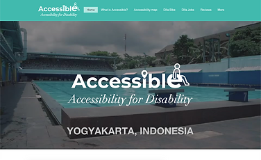
Accessibility Map
By Accessibility map, we present disable-friendly public facilities in Yogyakarta. The place is divided into five namely public services, educational facilities, tourist attractions, culinary places, the place for special handling of disabling such as hospitals. The WebGIS platform "Accessibility for Disability" facilitates disability in seeking information about the accessibility of a place so that disable become more active in carrying out activities outside the home.

Let's Start Your Trip!


bottom of page